Drone Augmented Reality
See the data, not just the picture.
Import your property lines and infrastructure, and Dronial draws them onto your DJI’s live feed — terrain-aware, anywhere in the United States.
See more. Know more.
Critical data, in the live view
From property boundaries and construction layouts to outage markers, hidden infrastructure, and search locations, Dronial gives drone operators the context they need to work faster, navigate smarter, and take on missions that would otherwise be difficult — or impossible — with video alone.
Data Layers / Live Overlay
- Property Boundaries
- Construction Layouts
- Outage Markers
- Hidden Infrastructure
- Search Locations
Where it works
Built for commercial operators
- 01
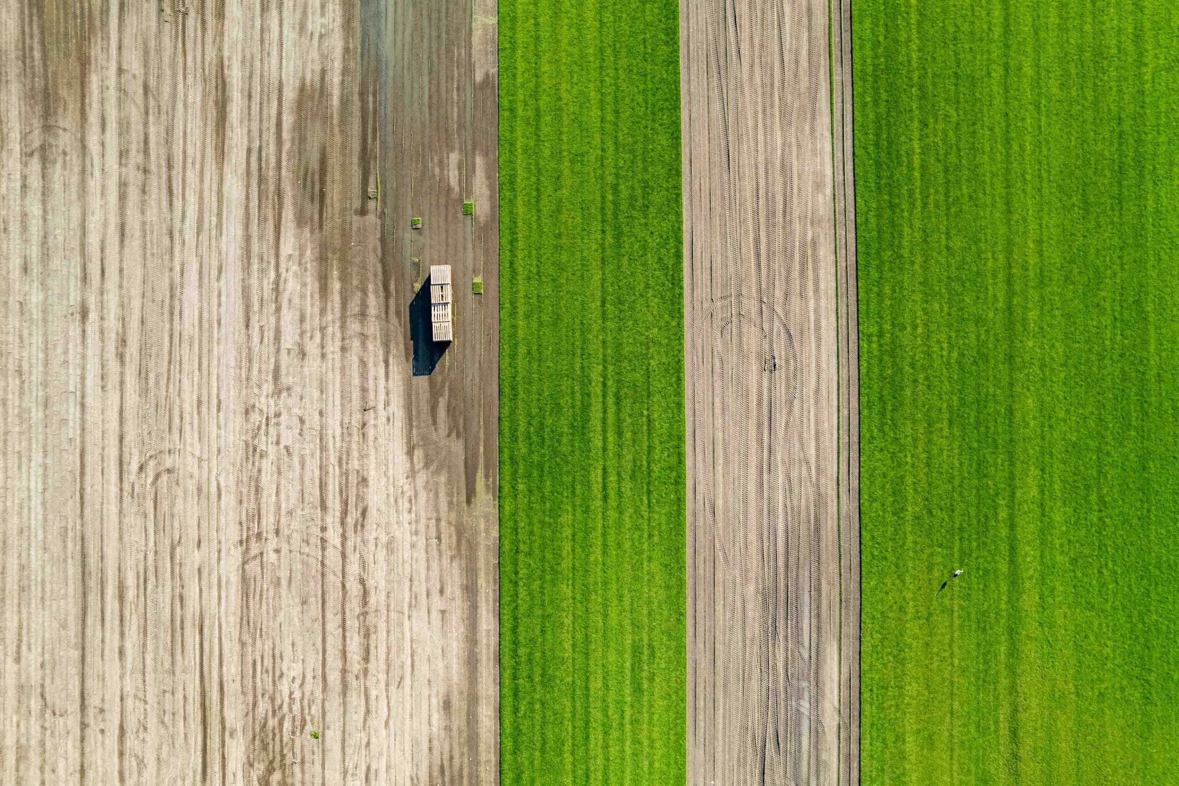
Land & Real Estate
Parcel boundaries and acreage drawn over the live aerial view.
- 02
Infrastructure Inspection
Assets and access paths surfaced before you reach the airframe.
- 03
Utilities
Buried lines and outage markers placed in three-dimensional space.
- 04
Construction
Site layouts and staging zones aligned to the ground beneath you.
- 05
Public Safety
Search locations and points of interest pinned for the whole team.
From import to overlay
How it works
- 01
Import your KML/KMZ boundaries
Bring the parcels, layouts, and markers you already work with straight into the app.
- 02
Connect your DJI drone's live feed
Link the aircraft and Dronial reads the live video and telemetry stream in real time.
- 03
See terrain-aware overlays in real time
Your data is anchored to the world below and rendered into the view as you fly.
Dronial seeks to bridge that gap
We bring digital information into the live drone experience through augmented reality — a platform of Drone AR apps built for real-world commercial use.
- Land & Real Estate
- Infrastructure
- Utilities
- Construction
- Public Safety
The Thesis
The future of drone operations is not just seeing the world from above. It’s understanding it.
Ready to accelerate? Let’s talk.
Connect with the team
A full contact form and early-access signup arrive in the next phase. Until then, reach us on the line below — we read every message.